Blog category

Tutorials

12 articles

08 Sep 2016

Drawing a map in Illustrator

I'm currently in the drawing process of a map in Illustrator. In fact, it's a series of maps. The maps need to be in good print quality and also available online in a pdf. I searched for a good solution to cover both needs. Obviously, you go to Google Maps and take a screenshot of your map and location but this results in poor quality as the screenshot has a low resolution. I found some work arounds - i tried "my maps on Google" but the quality for print is not what i was looking for, it was poor quality and poor adjustment options. So i decided to draw them myself in Adobe Illustrator with the Google Map as a template layer as a starting point. I found some good, short video tutorials on how to create roads, rivers and labels in your maps:
Style guide collection

12 Feb 2014

Style guide collection

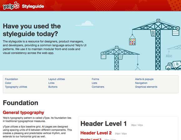
Lately, i have been doing more and more style guides to guide my clients in their online presence. Last week, an excellent article "Getting Started With Pattern Libraries" by Anna Debenham was published on A List Apart explaining the steps to take for coding and maintaining a pattern library. Anna explains how she did the ALA style guide, for web designers to use as guidance. She also wrote a book about this Front-end Style Guides, published by Five Simple Steps.
1 / 2

Back to Blog